Proof of Concept - 3D Visualization
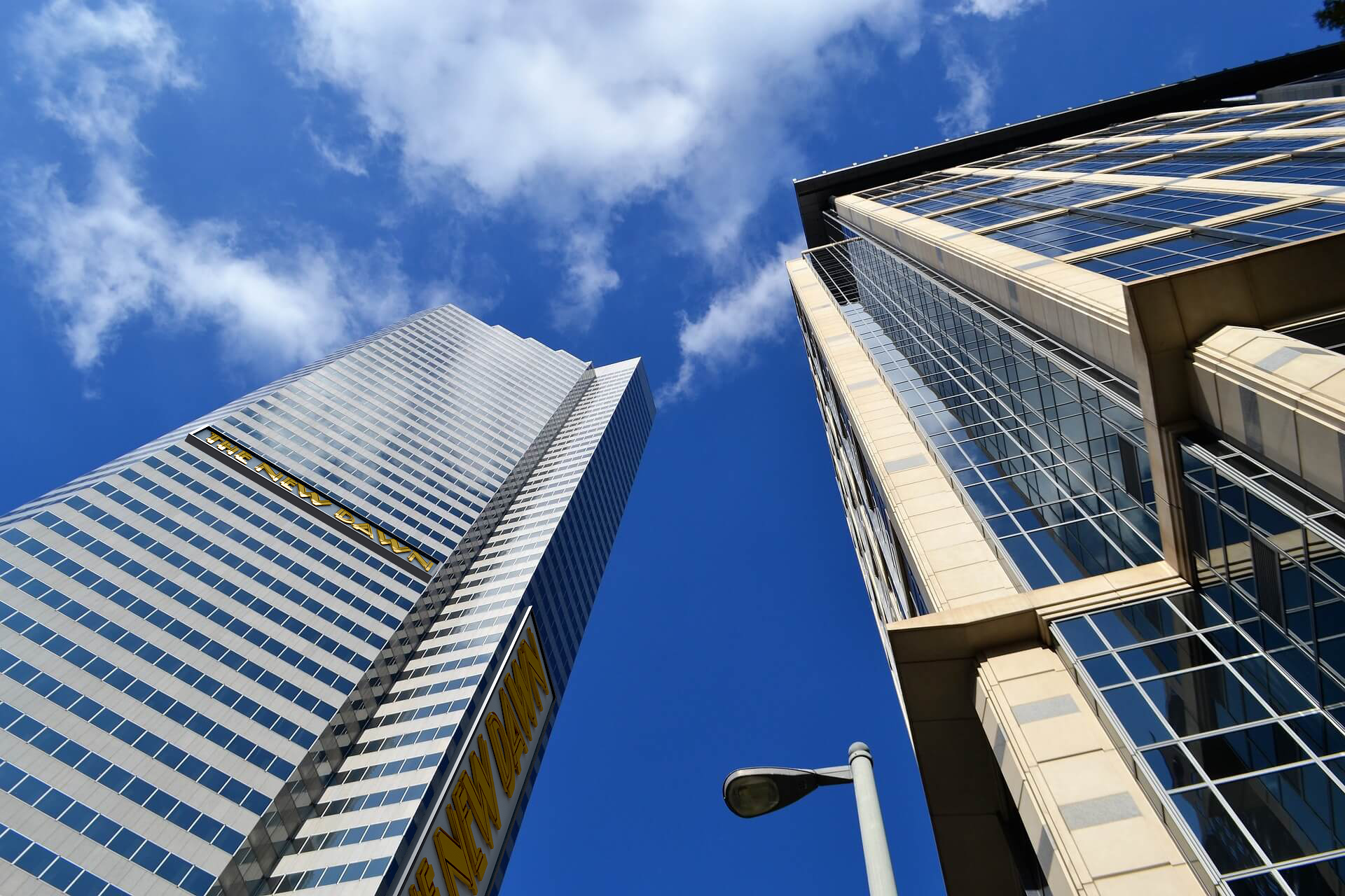
A client asks for directions
Sometimes, the best way to show a client how a finished product will look is to create something as close to reality as possible.
As a proof of concept, I spent about one hour creating two different versions of a custom building sign, using a combination of 3D modeling and compositing in Photoshop to achieve a somewhat realistic final result.
Visualize the assessment
By integrating the 3D models into real-world photography, I was able to demonstrate how each sign would look in its intended environment, including its scale, placement, materials, and overall appearance.
This gives clients greater confidence in their purchasing decisions while providing the company with a valuable tool to improve its sales process.
Original Image
Map Design - Flókadalsá
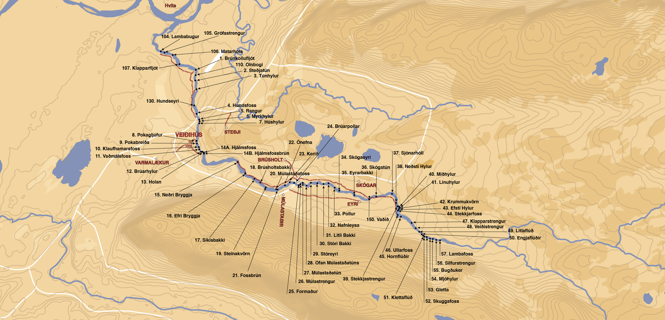
Helping the guides
Flókadalsá needed an updated map with a clearer view of the terrain you can expect. At a glance, a fisherman should be able to see how to reach each pool in the river that's best for fishing.
Getting rid of most of the fluff was deemed necessary by the guides who fish in the river. We landed on a very simple map with just a couple of the most important landmarks and roads visible on the map so they can locate each location easily.
Keep the originality
Víðidalsá
I had a bit more freedom with these maps, as they will be framed on a wall and have plenty of room to breathe. The area around Víðidalsá is varied, so I added contoured terrain for those who are new to the area.
Sogið Torfastaðir is a relatively flat place in the south of Iceland that doesn’t need contoured terrain. Older maps of the area showed only what was necessary, so I kept to that philosophy to keep the map clear. However, to make the map a bit more interesting when printed and framed, I decided to add a bit more color to show the variety of the landscape surrounding the area.
Sogið Torfastaðir